COLLECTION NAME:
David Rumsey Historical Map Collection
Record
Author:
Thompson & West
Date:
1876
Short Title:
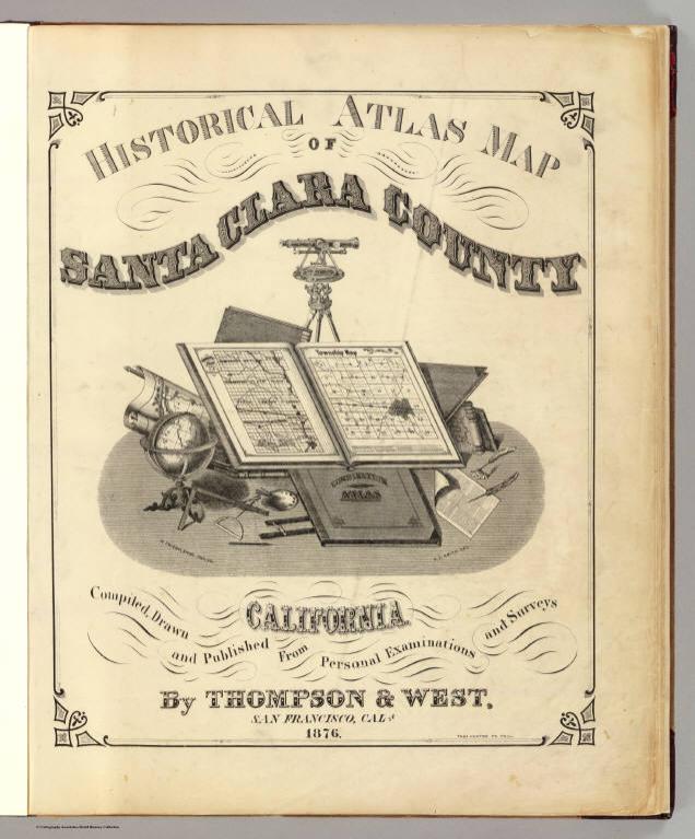
Title Page: Santa Clara County atlas map.
Publisher:
Thompson & West
Publisher Location:
San Francisco
Type:
Title Page
Obj Height cm:
45
Obj Width cm:
38
Note:
Illustrated title page. Maps in full color. Atlas is bound in half leather brown cloth covered boards with "New historical atlas of Santa Clara Co. California. Illustrated. Thompson & West 1876" stamped in gilt on the front cover and blind stamped on the back. David Rumsey Collection copy includes 3 ms. letters regarding the Almaden Mine view dispute.
Reference:
Phillips, 1464; LeGear. Atlases of the United States, L 478.
State/Province:
California
County:
Santa Clara County (Calif.)
Subject:
Historical
Full Title:
(Title Page to) Historical atlas map of Santa Clara County, California. Compiled, drawn and published from personal examinations and surveys by Thompson & West, San Francisco, Cala. 1876. Thos. Hunter Pr. Phil. N. Friend, Engr. Philad. C.L. Smith, Del.
List No:
2256B
Series No:
2
Engraver or Printer:
Friend, N.
Engraver or Printer:
Healey, Charles T. (Charles Terraine)
Engraver or Printer:
Hunter, Thomas
Engraver or Printer:
Smith, C.L.
Publication Author:
Thompson & West
Pub Date:
1876
Pub Title:
Historical atlas map of Santa Clara County, California. Compiled, drawn and published from personal examinations and surveys by Thompson & West, San Francisco, Cala. 1876. Thos. Hunter Pr. Phil. N. Friend, Engr. Philad. C.L. Smith, Del.
Pub Reference:
Phillips, 1464; LeGear. Atlases of the United States, L 478.
Pub Note:
See note field above.
Pub List No:
2256.000
Pub Type:
County Atlas
Pub Maps:
20
Pub Height cm:
45
Pub Width cm:
39
Image No:
2256B
Authors:
Thompson & West
Collection:
Rumsey Collection
Link To Source